FIRE INTELLIGENCE • PROPERTY ASSESSMENTS
Wildfire Risk Assessments & Fire Intelligence
Modern wildfire risk analysis using aerial mapping and assessment tools. We help you understand your property's vulnerabilities and create actionable mitigation plans.
DRONE TECHNOLOGY
Drone Property Assessments
Our drone-based assessment technology provides comprehensive aerial views of your property, capturing details that ground-level inspections miss.
RISK ANALYSIS
We identify every vulnerability on your property.
A comprehensive risk analysis that covers fuel loading, access, and structural exposure.
Ladder Fuels
Identification of vegetation that allows fire to climb from the ground into tree canopies.
Defensible Space Gaps
Assessment of clearance zones around structures and where improvements are needed.
Fuel Loading
Measurement of dead wood, brush, and debris accumulation across your property.
Evacuation Access
Evaluation of driveway clearance and emergency vehicle access points.
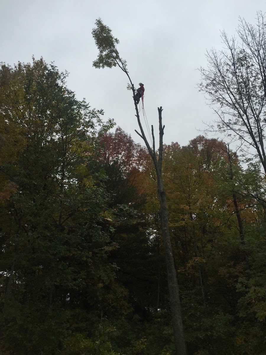
Hazard Trees
Identification of dead, diseased, or structurally compromised trees near structures.
Structure Vulnerability
Assessment of building materials and ember ignition points on your home.
DELIVERABLES
Property Mapping & Reports
Mapping assessment powered by TerrainEval.com
You'll receive detailed documentation to guide your wildfire preparedness efforts and support any funding applications.
OUR PROCESS
From consultation to implementation
Consultation
We discuss your property, concerns, and goals to understand your wildfire preparedness needs.
Drone Survey
Our team conducts a comprehensive aerial survey of your property using advanced drone technology.
Risk Analysis
We analyze the collected data to identify vulnerabilities and assess your property's wildfire risk level.
Mitigation Planning
We develop a prioritized mitigation plan with specific recommendations and cost estimates.
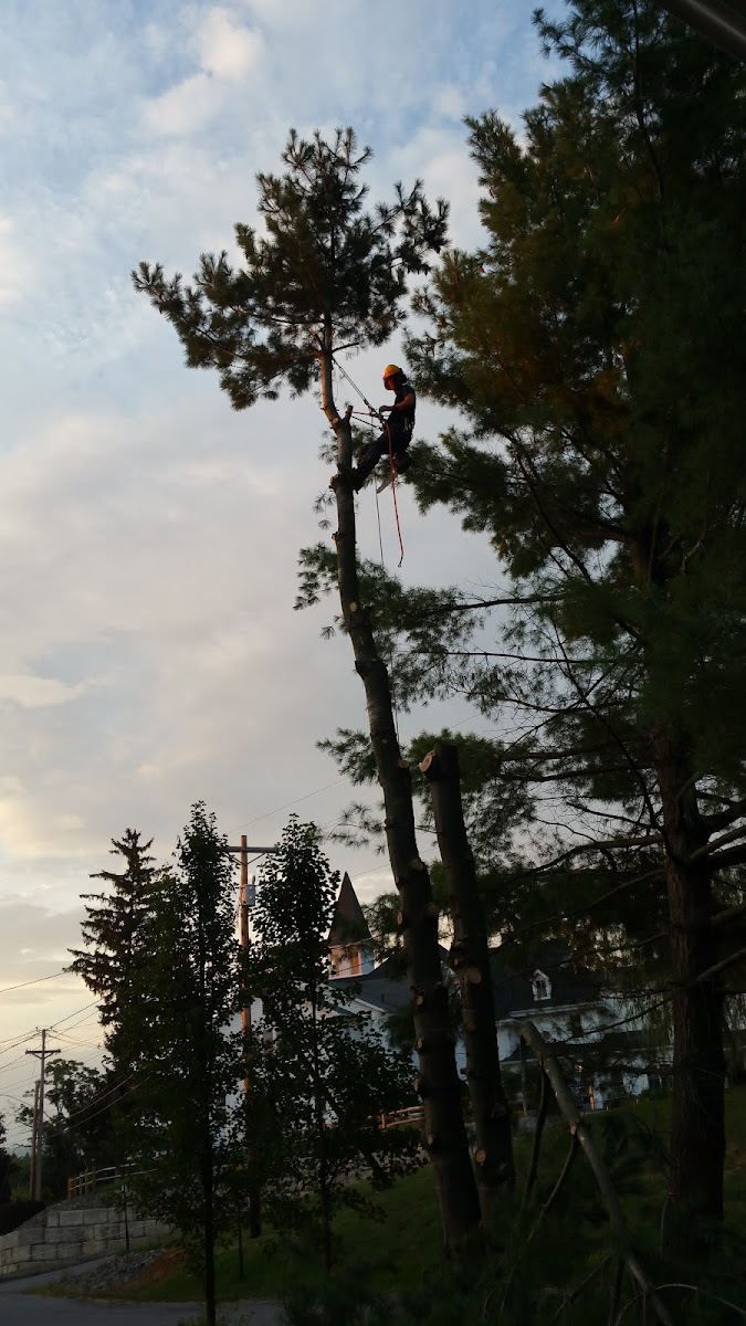
Implementation
Our team can execute the recommended mitigation work or coordinate with trusted partners.
GET STARTED
Schedule Your Property Assessment
Take the first step toward understanding your property's wildfire risk.